Amped Aerial | On Demand Drone Services Serving Southern and Central California
Amped Aerial drone services specializes in aerial data, inspections, photography, and thermal imaging. Serving Central and Southern California. Our data-driven approach delivers accurate results for construction, real estate, agriculture, and energy projects.


COMPREHENSIVE DRONE SERVICES IN SOUTHERN AND CENTRAL CALIFORNIA
Amped Aerial Drone Services featured drone services. We leverage drone technology to help companies succeed.
Inspection
We offer high-resolution drone inspections that provide safe, efficient access to hard-to-reach areas. Our process improves accuracy, reduces downtime, and eliminates the risks of manual checks.
Agriculture
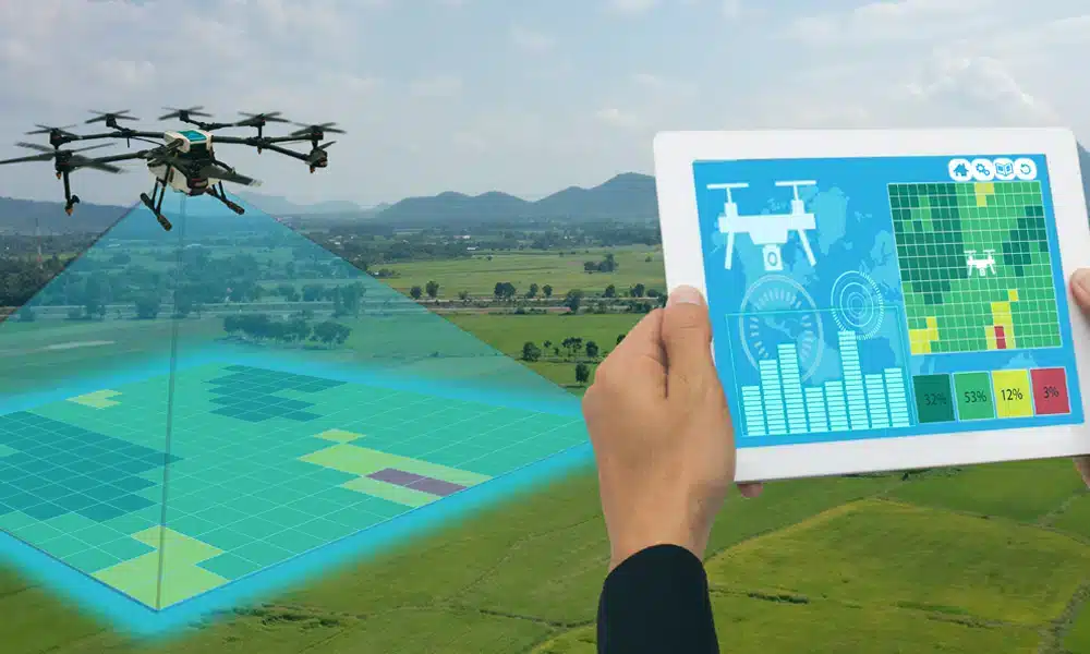
Our drone services monitor crop health, irrigation efficiency, and field conditions. We deliver actionable insights to help farmers maximize yield and reduce operational costs.
Real Estate
Amped Aerial Drone Services captures aerial and ground visuals that showcase properties at their best. Our media helps real estate professionals attract buyers and stand out in competitive markets.
Thermal
Our thermal drone imaging detects hidden problems invisible to the naked eye. From solar panel hot spots to roof leaks, we deliver precise, reliable data to help you act quickly.
Energy
We inspect solar farms, wind turbines, and energy facilities with detailed imaging and thermal analysis. Our Drone services identify inefficiencies, improve safety, and lower maintenance expenses.
Mapping & Modeling
We create accurate maps and 2D/3D models using drone photogrammetry. Our data supports construction planning, land surveys, and site analysis with precision and detail.


AMPED AERIAL DRONE SERVICES WORKS WITH THESE INDUSTRIES
Amped Aerial Drone Services provides advanced drone services throughout Southern and Central California, delivering accurate aerial mapping, thermal inspections, and high-quality photography. Using cutting-edge UAV technology paired with AI-driven data analysis, we help businesses, developers, and property owners make smarter decisions with precise aerial data.
- Inspection
- Agriculture
- Construction
- Real Estate
- Energy
- Thermal
Hear What Our Clients Are Saying About Amped Aerial Drone Services

Thanks so much, Matt!
Advanced Drone Services That Drive Decisions
Innovative approach
Harnessing the latest in drone technology to capture stunning, high-definition photography and videography from the skies.
Utilizing Latest Technologies
Utilizing the latest Drone Innovations with advanced sensors to deliver the highest quality media.
Serving California
Our pilots are FAA licensed, insured, and certified in advanced drone operations and thermal imaging.
AERIAL DRONE VIDEOGRAPHY AND PHOTOGRAPHY
Thermal Drone Solar PV Inspection
Our advanced thermal drone inspections provide in-depth analysis of solar PV systems, detecting panel inefficiencies, hotspots, and potential failures. Whether for residential, commercial, or utility-scale solar farms, Amped Aerial Drone Services drone-based inspections deliver accurate, actionable insights with minimal disruption.
Aerial Drone Agriculture Inspection
Our advanced thermal drone inspections provide in-depth analysis of solar PV systems, detecting panel inefficiencies, hotspots, and potential failures. Whether for residential, commercial, or utility-scale solar farms, our drone-based inspections deliver accurate, actionable insights with minimal disruption.
Drone Construction Progression
Our advanced thermal drone inspections provide in-depth analysis of solar PV systems, detecting panel inefficiencies, hotspots, and potential failures. Whether for residential, commercial, or utility-scale solar farms, our drone-based inspections deliver accurate, actionable insights with minimal disruption.
Drone Services for Real Estate
Showcase properties like never before with our professionala drone photography and videography services. We provide stunning aerial visuals that highlight property features, surroundings, and unique selling points, helping you attract buyers, close deals faster, and stand out in the competitive real estate market.
Get a Quote for California Drone Services Today
West Coast region providing drone services and solutions, on-site photography and data acquisition. Done for you.


